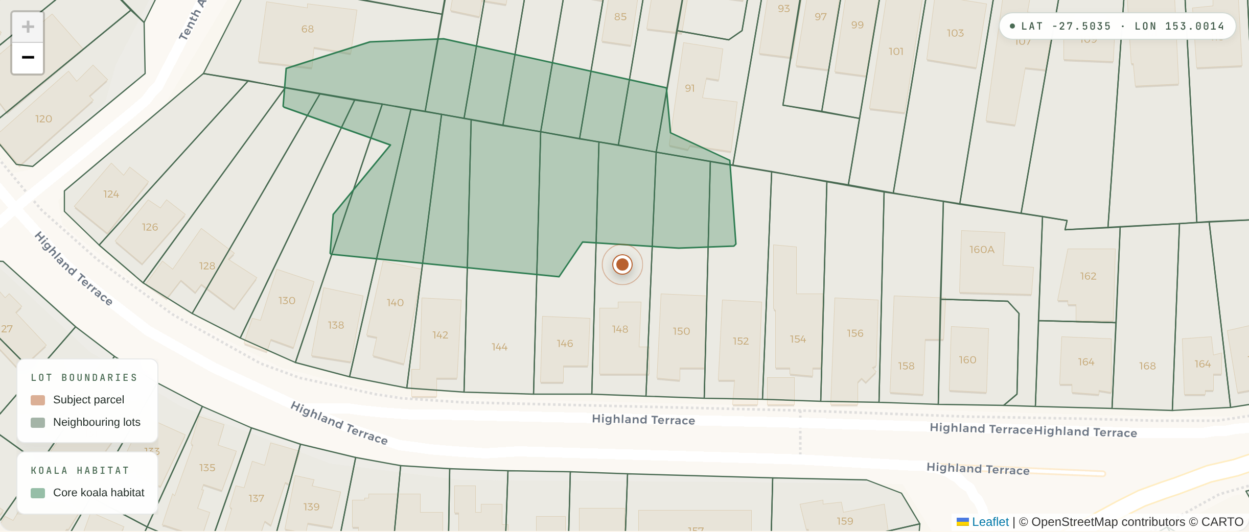
How deep do we X-Ray?
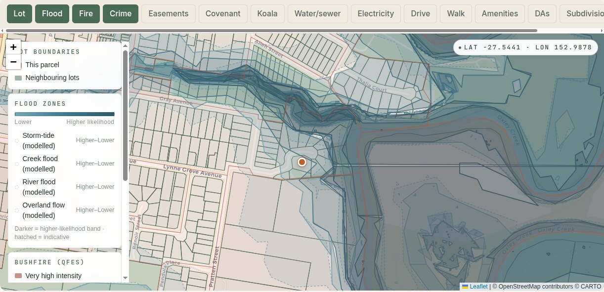
Three levels down: the overlays everyone publishes, the paperwork most people miss, and what your block actually does in rain and winter sun.
The basics, then the paperwork that bites.
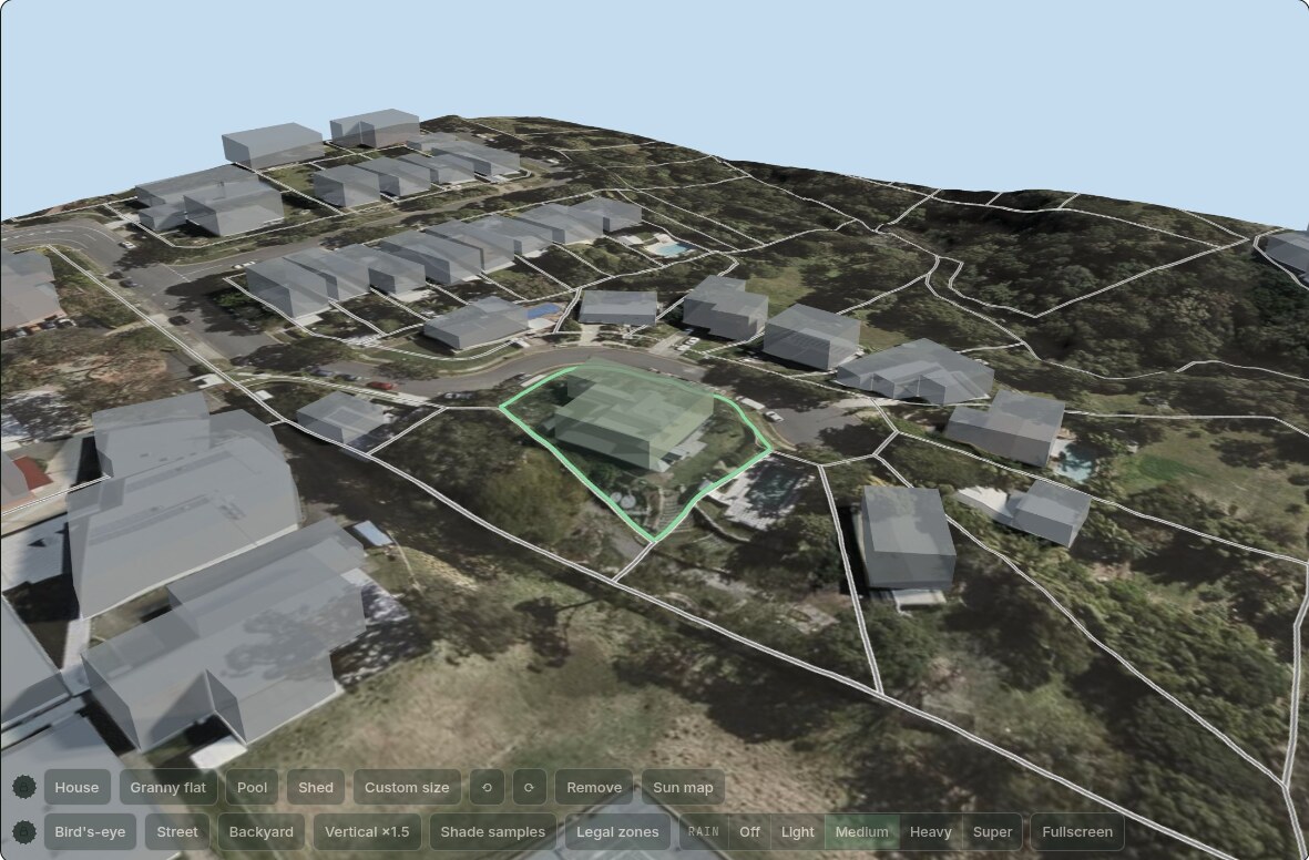
Where the water goes. Where the winter sun lands.
We build your block in 3D from state terrain mapping: spin it, place a house, a granny flat or a pool, then watch where water flows and pools in light, medium or heavy rain, and how far the winter shadows reach on the shortest day of the year.
Modelled from QLD Government 0.5 m LiDAR terrain. Indicative only, not certified hydrology.
The X-ray finds it. We investigate what it costs.
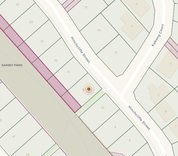
An easement on a map is just a line until you learn it kills the pool. Every finding gets read for what it actually blocks, costs or changes. Buying? You know before you sign. Selling? You learn what the buyer’s searches will surface before they do, and price it in instead of renegotiating on the back foot. We hold no listing and earn no commission, so both sides get it straight. Five real addresses, five findings investigated.
Dreaming of a pool? Meet the easement.
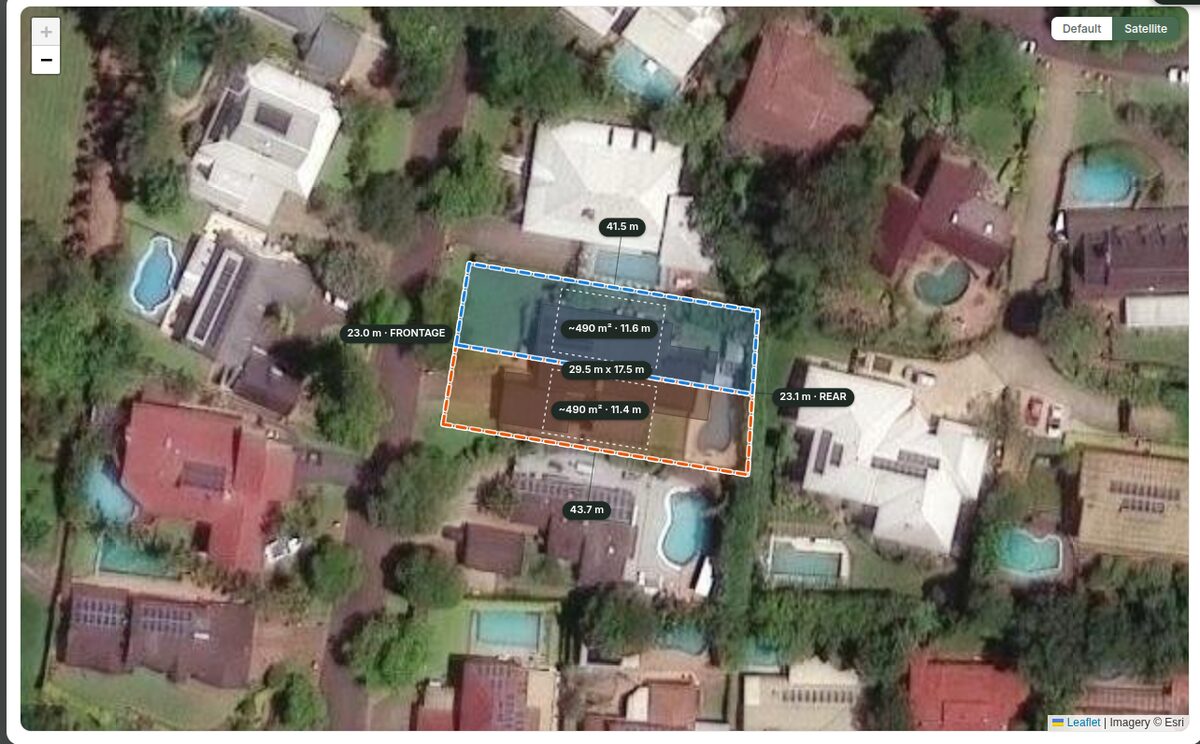
Is this one block, or two?
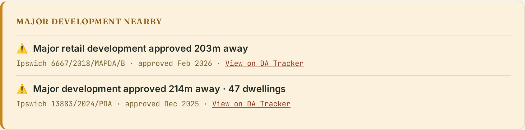
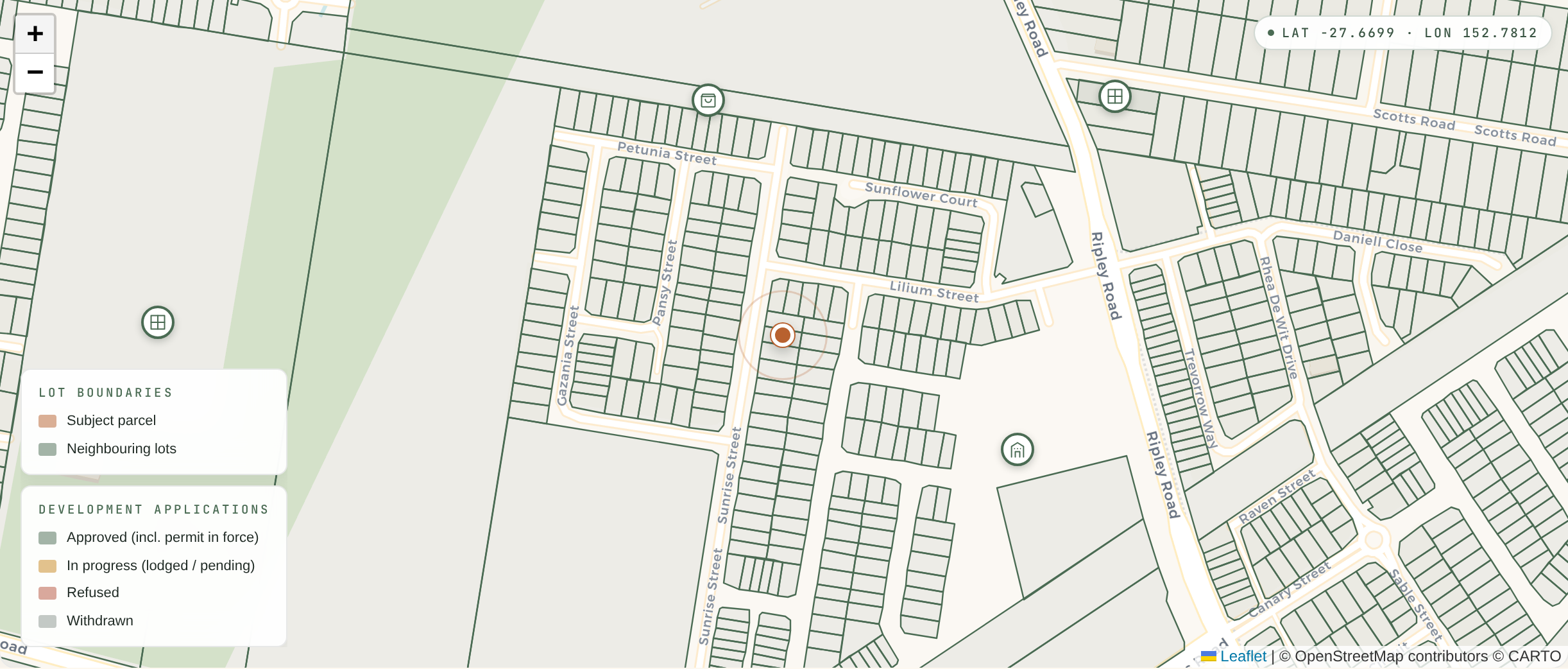
Your quiet street has plans.
The home that treats its own sewage.
40% of your backyard is off-limits.